
Ainslie Wood
Ainslie Wood
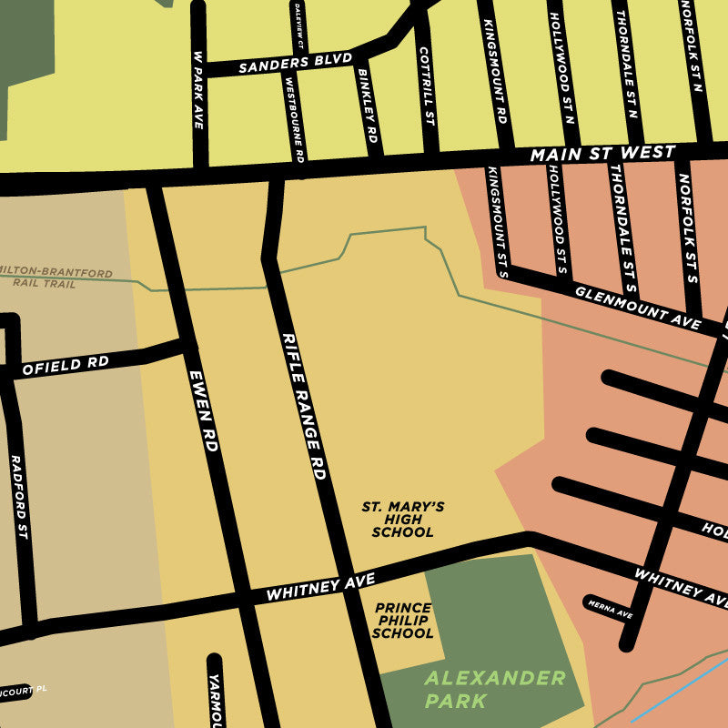
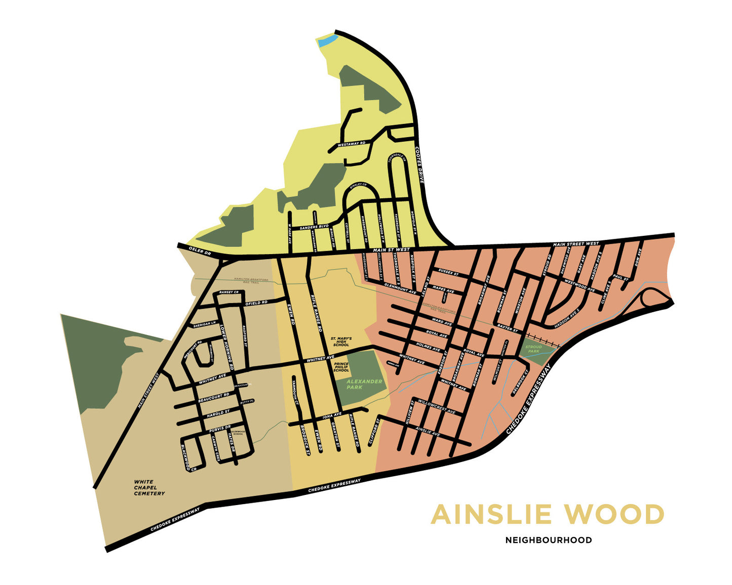
This is the full Ainslie Wood map combining the four City-defined neighbourhoods into a single print. South of main, the borders are the 403 ramps, the Chedoke Expressway and the Dundas border. North of main it includes the area between Cootes Drive and the Dundas border (roughly the hydro corridor). Some landmarks include the Hamilton-Brantford rail trail, Alexander Park, St. Mary's High School, and Prince Philip School (now closed, but we like it so we're leaving it there).

Couldn't load pickup availability

Copyright note: All of our maps and other images are our own work. They are available as prints only and may not be used otherwise without our express permission.
-
Shipping
We ship from Hamilton, Ontario via Canada Post. We try to ship a couple days per week (more often in November and December).
We also offer free local pickup in downtown Hamilton. -
Returns
We offer returns and exchanges in person only. We cannot offer returns by mail at this time. As a very small business, the cost of shipping is too high for us to absorb. Shipping over distances can cost almost as much as a single print in some cases.
If you're in Hamilton or can find us at one of our out-of-town events, we'd be happy to work with you on returns and exhanges.
-
Framing
While we don't offer frames for purchase, you can find frames ready-made to fit our prints on the shelf of many local stores and chains. The prints are all created in standard North American frame sizes. (i.e. not always available at the Scandinavian-based furniture and meatball store, check first before you go)