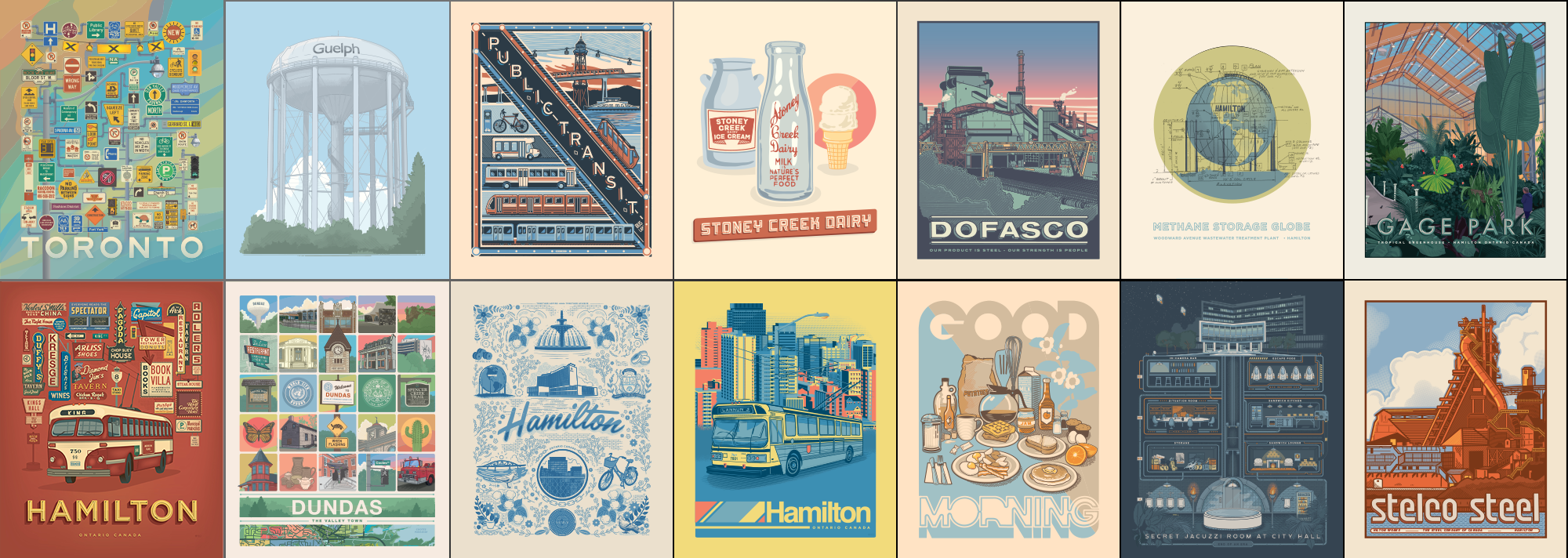
Illustrations
-
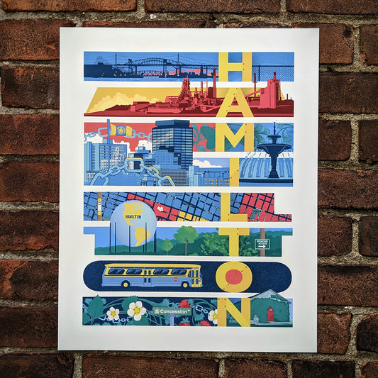
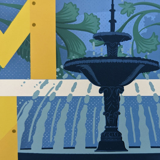
Hamilton Flower & Chain Print
Regular price From $20.00 CADRegular priceUnit price per -
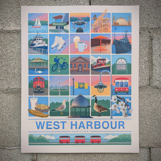
West Harbour Print
Regular price $44.25 CADRegular priceUnit price per -
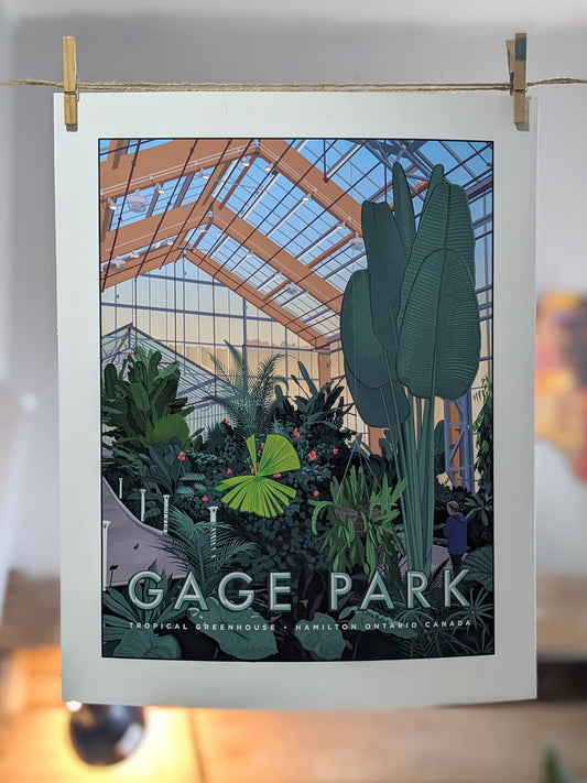
Gage Park Tropical Greenhouse Print
Regular price From $20.00 CADRegular priceUnit price per -
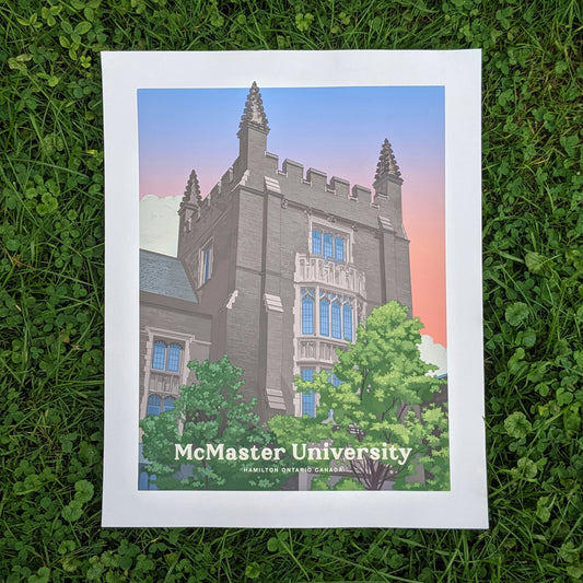
McMaster Print - University Hall
Regular price From $20.00 CADRegular priceUnit price per -
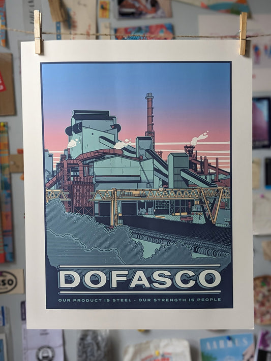
Dofasco Print
Regular price From $20.00 CADRegular priceUnit price per -
Stelco Print
Regular price From $20.00 CADRegular priceUnit price per -
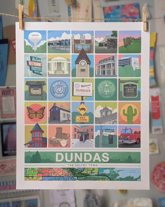
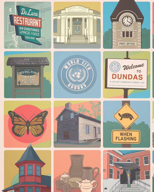
Dundas Grid Print - 25 Squares
Regular price $44.25 CADRegular priceUnit price per -
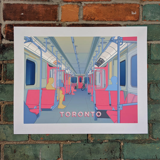
Toronto Subway Print
Regular price From $20.00 CADRegular priceUnit price per

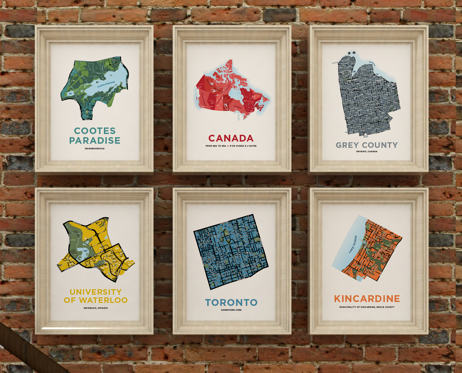
Our Newest Maps
Here's what we've been working on lately
-
Glenorchy Neighbourhood Map Print
Regular price From $22.00 CADRegular priceUnit price per -
Fort Erie Map of Waverly Beach, Garrison and Lakeshore Areas
Regular price From $22.00 CADRegular priceUnit price per -
Van Kirk Neighbourhood Map Print
Regular price From $22.00 CADRegular priceUnit price per -
Fletcher's Meadow North Neighbourhood Map Print
Regular price From $22.00 CADRegular priceUnit price per -
Springdale Neighbourhood Map Print
Regular price From $22.00 CADRegular priceUnit price per -
Spring Valley Neighbourhood Map Print (Brampton)
Regular price From $22.00 CADRegular priceUnit price per -
Fletcher's Meadow South Neighbourhood Map Print
Regular price From $22.00 CADRegular priceUnit price per -
Creditview Neighbourhood Map Print
Regular price From $22.00 CADRegular priceUnit price per -
Countryside Neighbourhood Map Print
Regular price From $22.00 CADRegular priceUnit price per -
Alloa Neighbourhood Map Print
Regular price From $22.00 CADRegular priceUnit price per


Unique and Personal Gifts
at affordable prices
Our neighbourhood maps are very popular gifts for many occasions, particularly as housewarming gifts, or going-away presents.

Browse our illustrations
We've created a lot of unique and often nostalgic images over the years. Check out our growing collection of illustrated prints.
Select Map collections from around Ontario
-
Niagara Region
While there aren't many maps in this collection yet, we will be...


Great gifts for couples
Our prints make great wedding and anniversary gifts.
We have helped many couples create a collection of maps for their home. They often choose to display a map of where each partner grew up, and a map of where they live now, or where they first met.
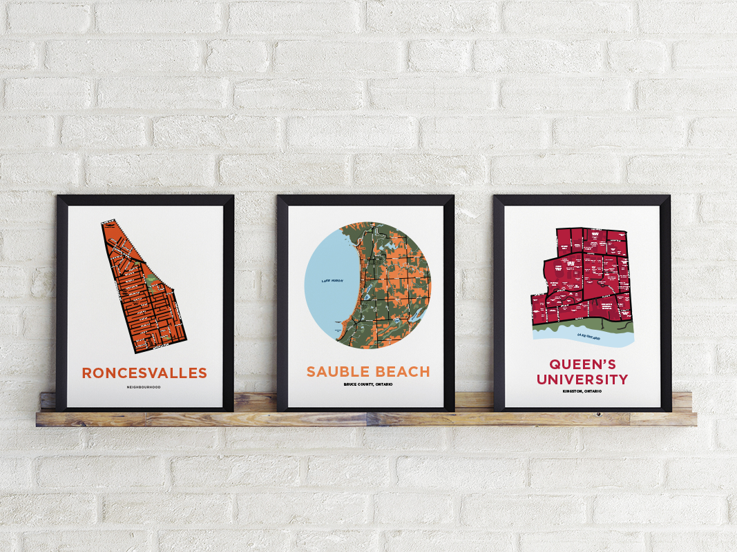
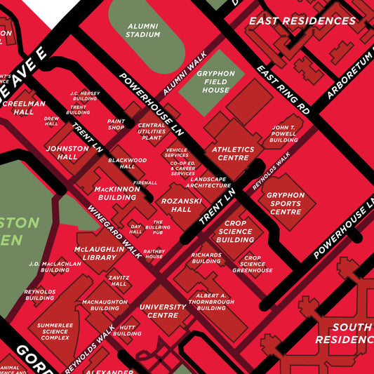
Campus Maps
We have over 60 maps of campuses across Canada (and a few beyond). They make a great gift for grads!
-
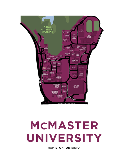
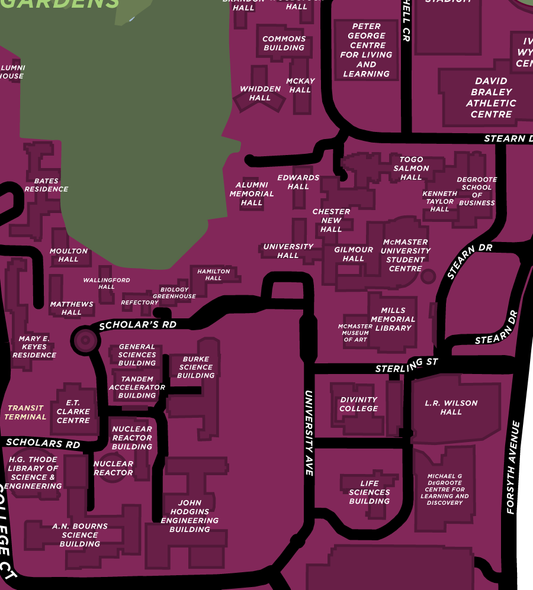
McMaster University Map Print
Regular price From $22.00 CADRegular priceUnit price per -
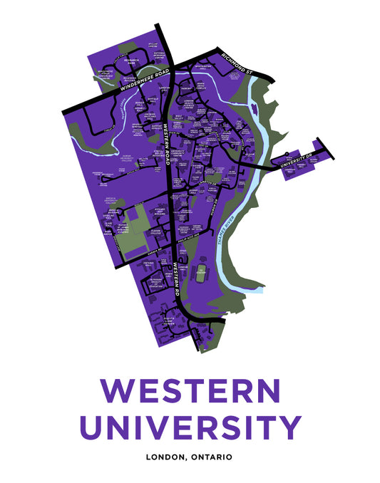
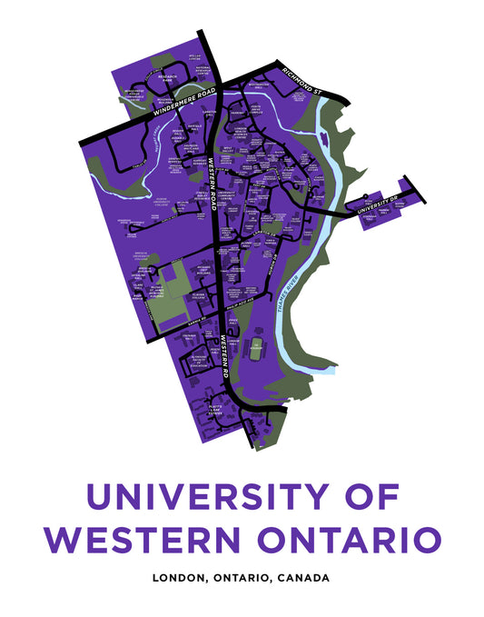
Western University Map Print
Regular price From $22.00 CADRegular priceUnit price per -
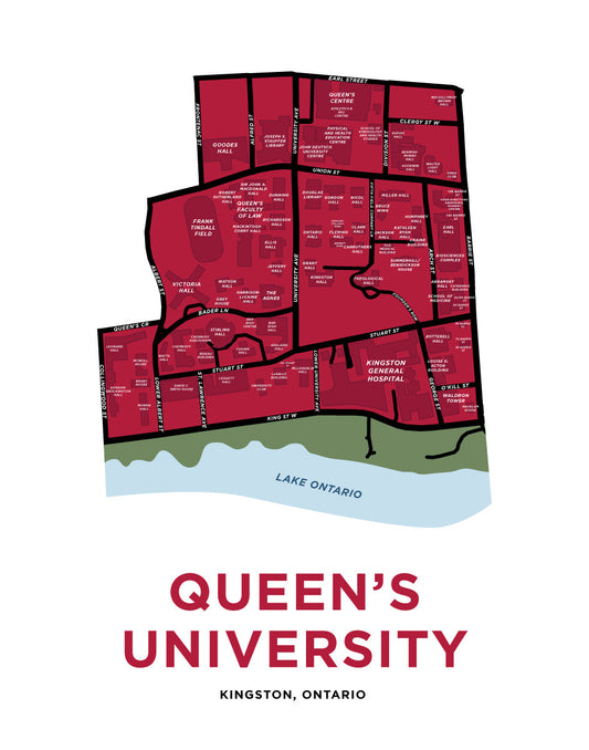
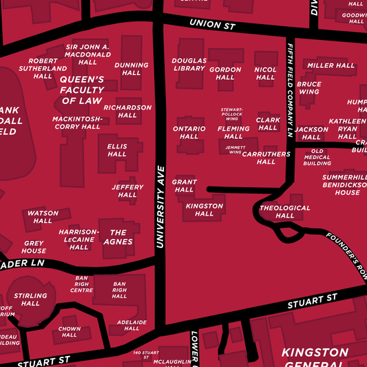
Queen's University Map Print
Regular price From $22.00 CADRegular priceUnit price per -
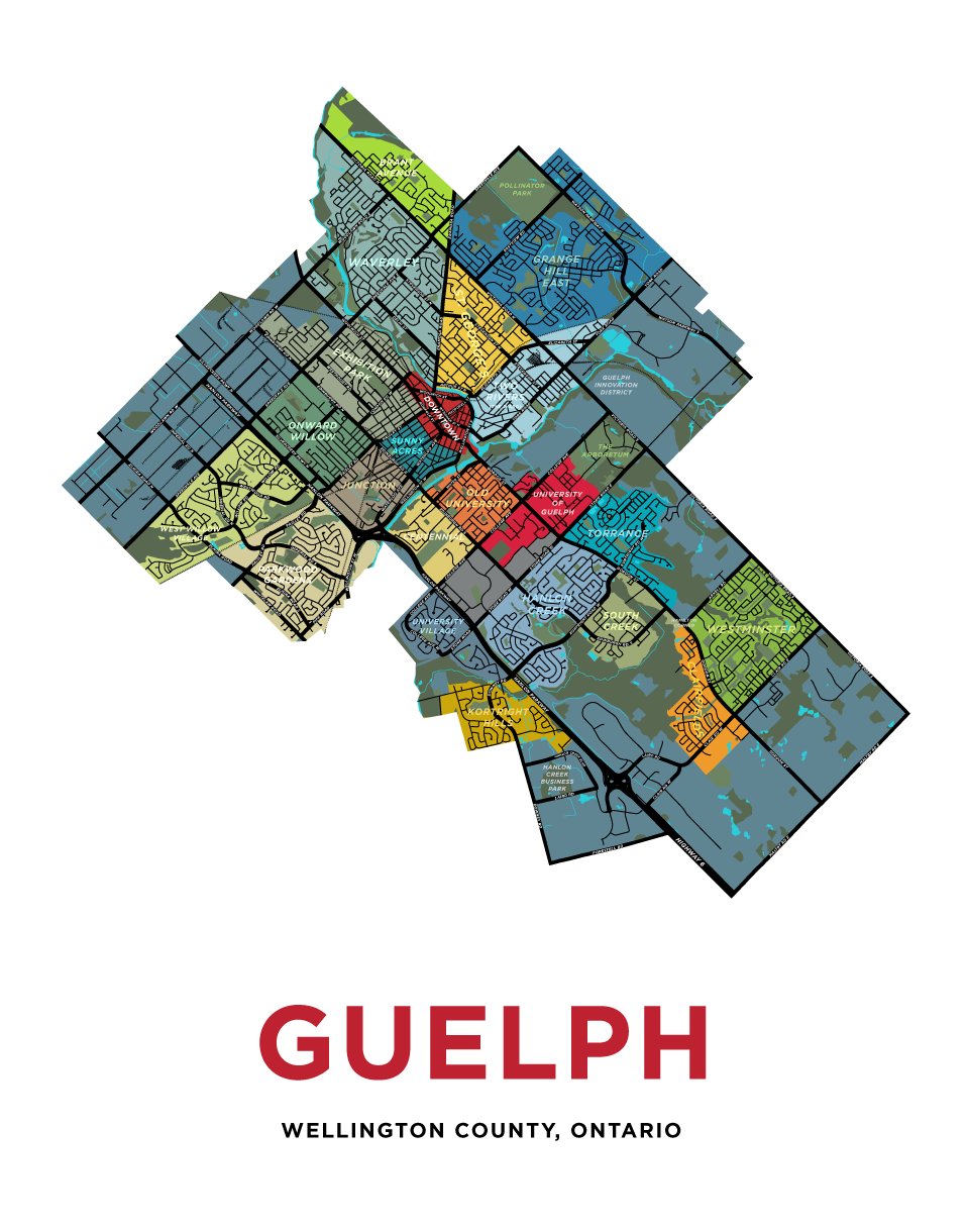
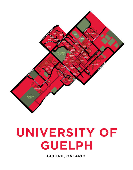
University of Guelph Campus Map Print
Regular price From $22.00 CADRegular priceUnit price per -
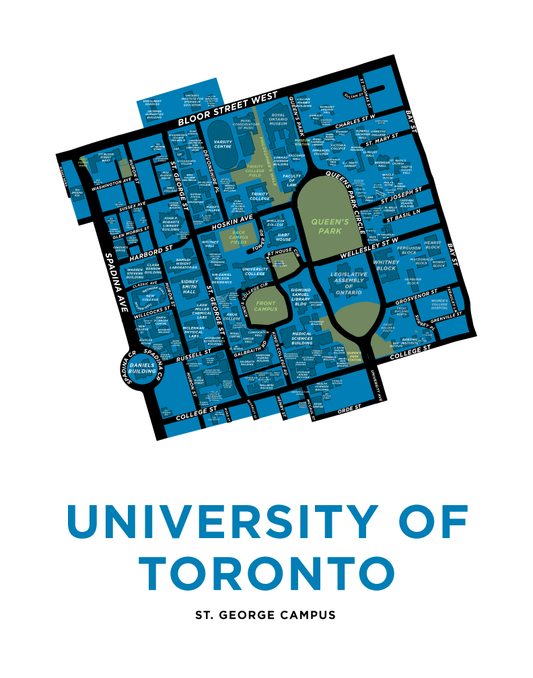
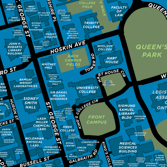
University of Toronto Map Print
Regular price From $22.00 CADRegular priceUnit price per -
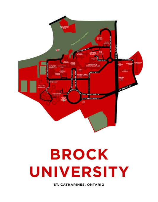
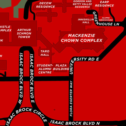
Brock University Map Print
Regular price From $22.00 CADRegular priceUnit price per -
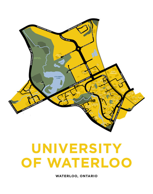
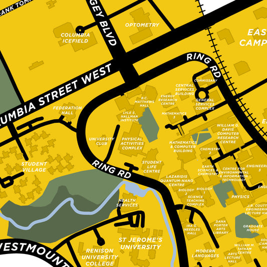
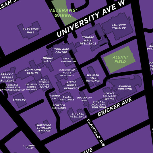
University of Waterloo Campus Map Print
Regular price From $22.00 CADRegular priceUnit price per -
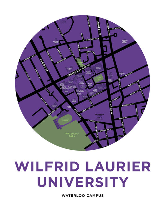
Wilfrid Laurier University - Waterloo Campus Map Print
Regular price From $22.00 CADRegular priceUnit price per -
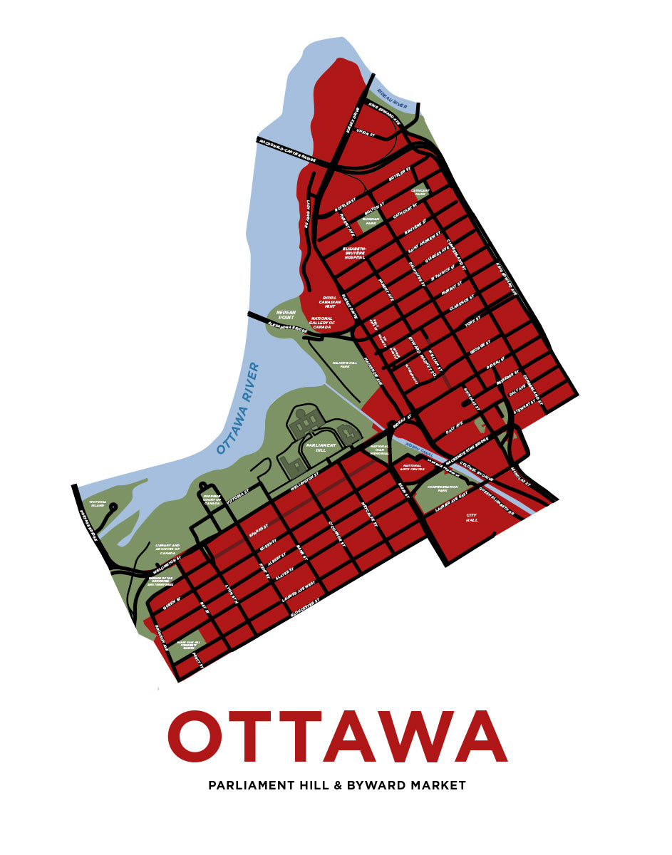
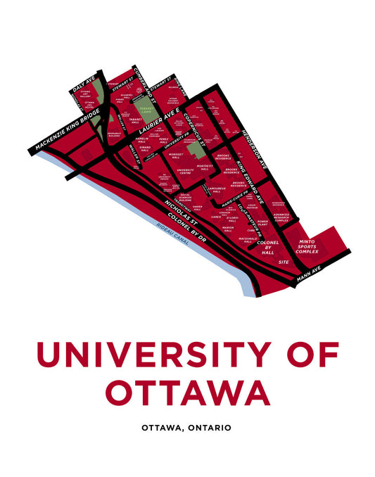
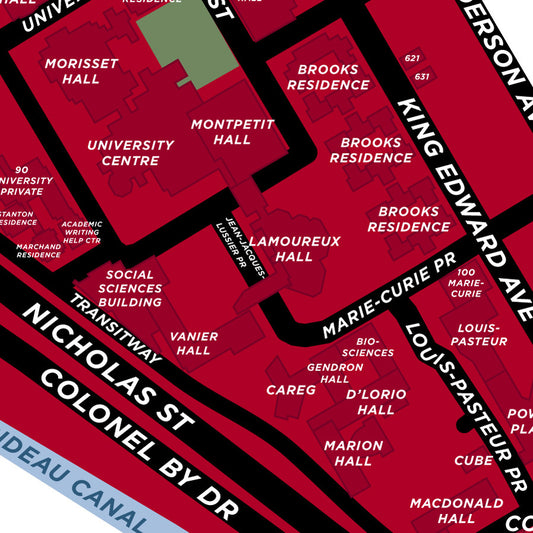
University of Ottawa Map Print
Regular price From $22.00 CADRegular priceUnit price per -
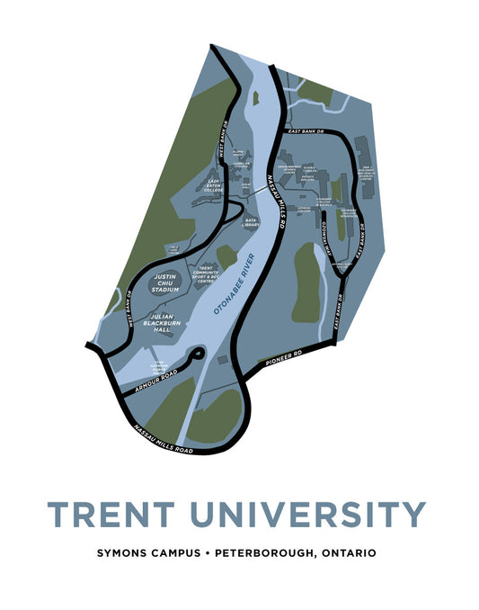
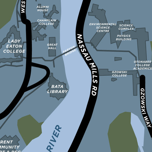
Trent University Map Print (Peterborough, Ontario)
Regular price From $22.00 CADRegular priceUnit price per
Small Stuff
Stickers, Pins, Magnets, etc.
-
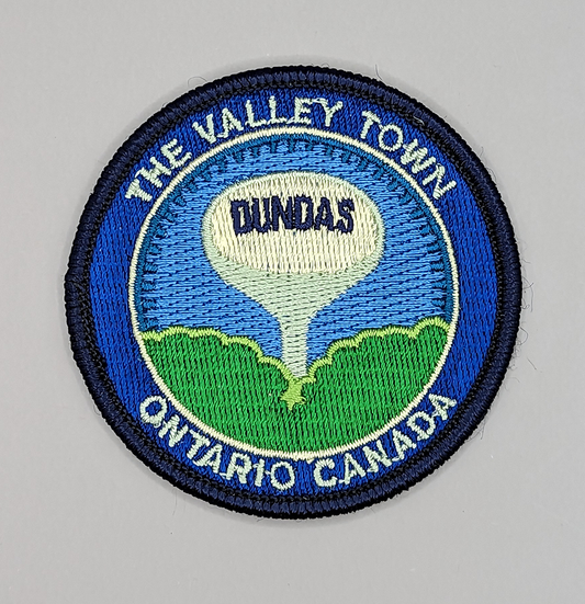 Sold out
Dundas Water Tower Iron-On Patch
Regular price $6.00 CADRegular priceUnit price per -
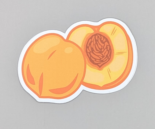
Peaches Sticker
Regular price $2.00 CADRegular priceUnit price per -
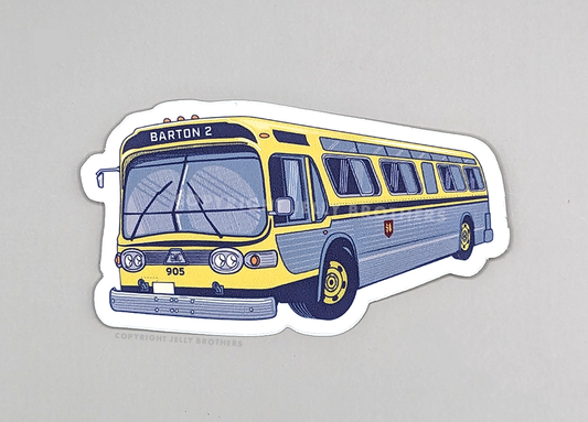 Sold out
Hamilton "Fishbowl" Bus Sticker
Regular price $3.00 CADRegular priceUnit price per -
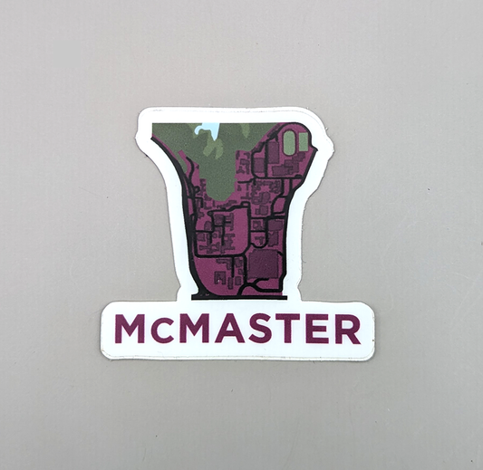 Sold out
McMaster Map Sticker
Regular price $2.00 CADRegular priceUnit price per -
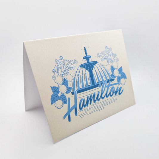
Hamilton Gore Park Fountain Greeting Card
Regular price $6.00 CADRegular priceUnit price per -
 Sold out
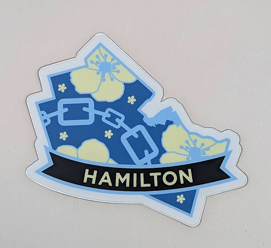
Hamilton Flowers and Chains Sticker
Regular price $3.00 CADRegular priceUnit price per -
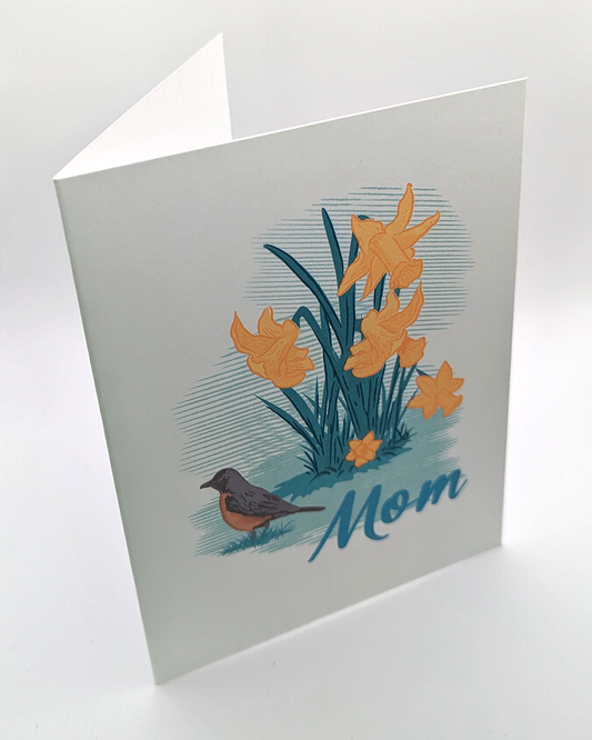
Daffodils "Mom" Greeting Card
Regular price $6.00 CADRegular priceUnit price per -
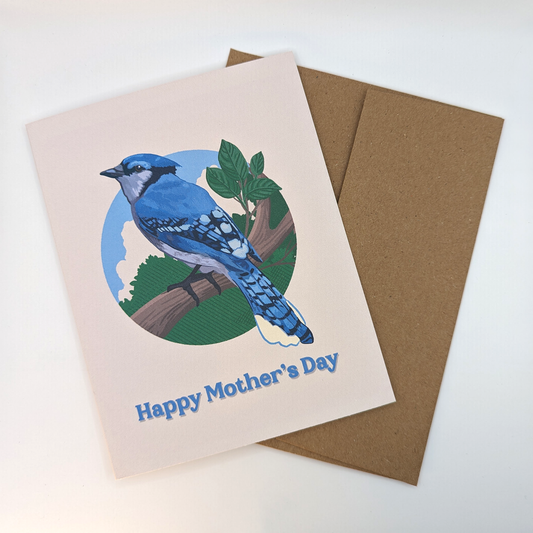
Blue Jay Happy Mother's Day Greeting Card
Regular price $6.00 CADRegular priceUnit price per -
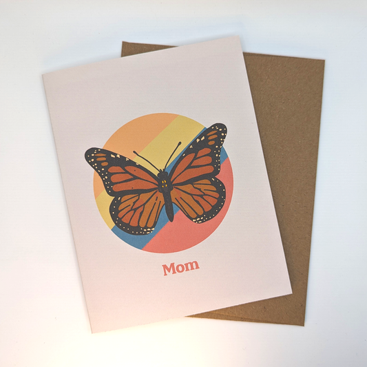
Butterfly "Mom" Greeting Card
Regular price $6.00 CADRegular priceUnit price per