-
Albion Neighbourhood Map
Regular price From $22.00 CADRegular priceUnit price per -
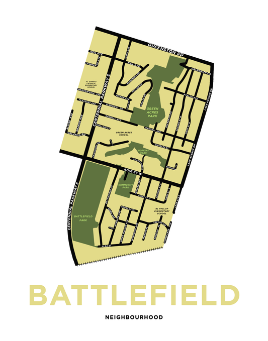
Battlefield Neighbourhood Map
Regular price From $22.00 CADRegular priceUnit price per -
Bayview Neighbourhood Map
Regular price From $22.00 CADRegular priceUnit price per -
Corman Neighbourhood Map
Regular price From $22.00 CADRegular priceUnit price per -
Dewitt Neighbourhood Map
Regular price From $22.00 CADRegular priceUnit price per -
Eastdale Neighbourhood Map
Regular price From $22.00 CADRegular priceUnit price per -
Felker Neighbourhood Map
Regular price From $22.00 CADRegular priceUnit price per -
Fifty Point
Regular price From $22.00 CADRegular priceUnit price per -
Fruitland & Winona Map Print
Regular price From $22.00 CADRegular priceUnit price per -
Guernsey Neighbourhood Map
Regular price From $22.00 CADRegular priceUnit price per -
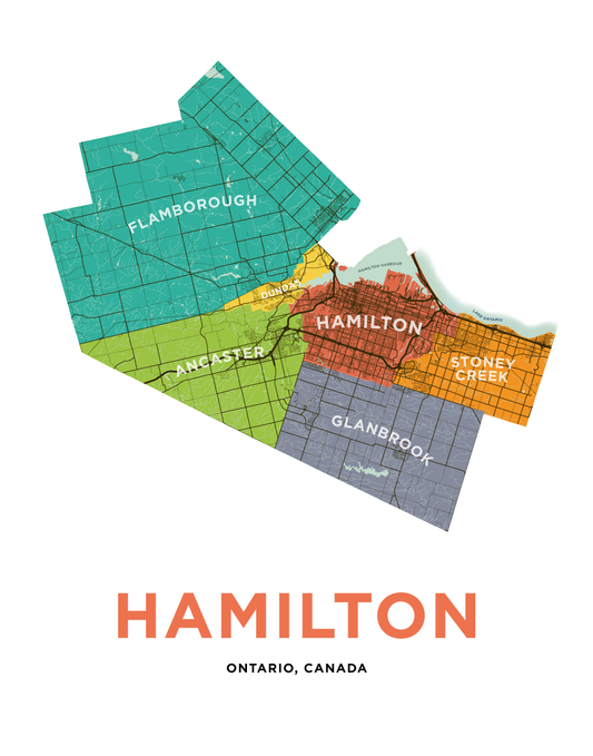
Hamilton Municipalities Map Print
Regular price From $22.00 CADRegular priceUnit price per -
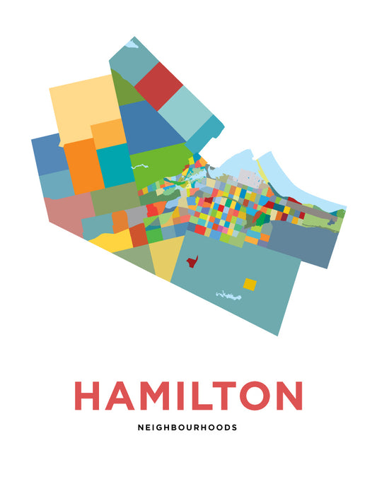
Hamilton Neighbourhoods Map - Simple Version
Regular price From $22.00 CADRegular priceUnit price per -
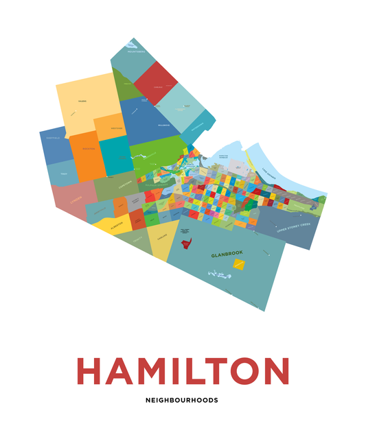
Hamilton Neighbourhoods Map Print
Regular price $44.25 CADRegular priceUnit price per -
Highland Neighbourhood Map
Regular price From $22.00 CADRegular priceUnit price per -
Highway Valley Neighbourhood Map
Regular price From $22.00 CADRegular priceUnit price per -
Lakeshore Neighbourhood Map
Regular price From $22.00 CADRegular priceUnit price per -
Mohawk College Stoney Creek Campus Map Print
Regular price From $22.00 CADRegular priceUnit price per -
Nash Neighbourhood Map Print
Regular price From $22.00 CADRegular priceUnit price per -
Poplar Park Neighbourhood Map
Regular price From $22.00 CADRegular priceUnit price per -
Riverdale Neighbourhood Map (Hamilton)
Regular price From $22.00 CADRegular priceUnit price per -
South Meadow Neighbourhood Map
Regular price From $22.00 CADRegular priceUnit price per -
Stoney Creek Neighbourhood Map
Regular price From $22.00 CADRegular priceUnit price per -
Stoney Creek Neighbourhoods Map
Regular price From $22.00 CADRegular priceUnit price per -
Summit Park East Neighbourhood Map Print
Regular price From $22.00 CADRegular priceUnit price per