-
Binbrook Map Print
Regular price From $22.00 CADRegular priceUnit price per -
Binkley, Weir, Cramer Neighbourhoods in Dundas - Map Print
Regular price From $22.00 CADRegular priceUnit price per -
Birch Cliff Neighbourhood Map Print
Regular price From $22.00 CADRegular priceUnit price per -
Birchmount-Clairlea Neighbourhood Map Print
Regular price From $22.00 CADRegular priceUnit price per -
Bishops University
Regular price From $22.00 CADRegular priceUnit price per -
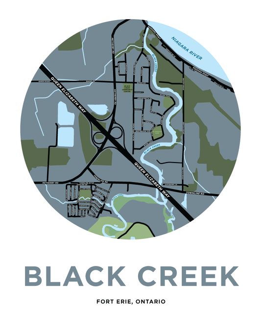
Black Creek Map Print (Fort Erie)
Regular price From $22.00 CADRegular priceUnit price per -
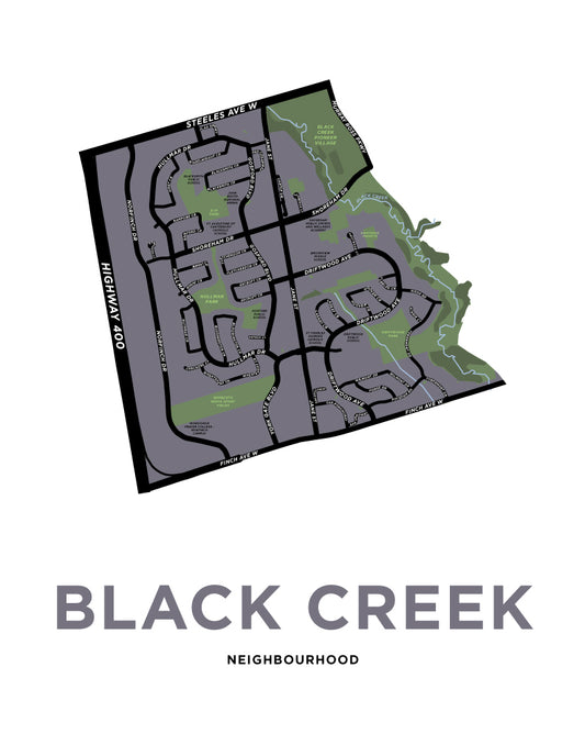
Black Creek Neighbourhood Map Print
Regular price From $22.00 CADRegular priceUnit price per -
Blackburn Hamlet Map Print
Regular price From $22.00 CADRegular priceUnit price per -
Blackheath Map Print
Regular price From $22.00 CADRegular priceUnit price per -
Blair Road Neighbourhood Map Print
Regular price From $22.00 CADRegular priceUnit price per -
Blakeley Neighbourhood Map
Regular price From $22.00 CADRegular priceUnit price per -
Blenheim Map Print
Regular price From $22.00 CADRegular priceUnit price per -
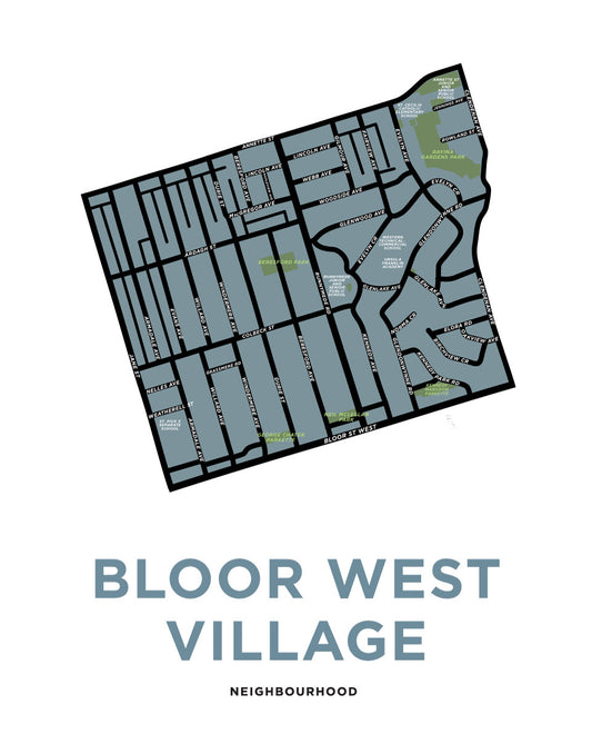
Bloor West Village Neighbourhood (Toronto)
Regular price From $22.00 CADRegular priceUnit price per -
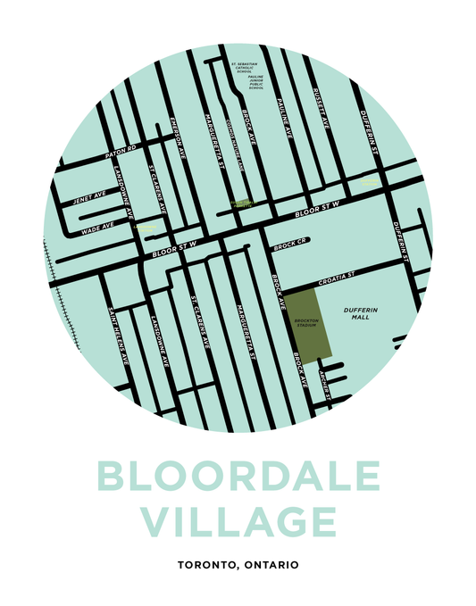
Bloordale Village Map Print
Regular price From $22.00 CADRegular priceUnit price per -
Blue Mountain and Craigleith Map Print
Regular price From $22.00 CADRegular priceUnit price per -
Blueridge Neighbourhood Map Print
Regular price From $22.00 CADRegular priceUnit price per -
Blyth Map Print
Regular price From $22.00 CADRegular priceUnit price per -
Bobcaygeon Map Print
Regular price From $22.00 CADRegular priceUnit price per -
Bolsover Map Print
Regular price From $22.00 CADRegular priceUnit price per -
Bolton, Ontario Map Print
Regular price From $22.00 CADRegular priceUnit price per -
Bonnington Neighbourhood Map
Regular price From $22.00 CADRegular priceUnit price per -
Boston Map Print (Norfolk County, Ontario)
Regular price From $22.00 CADRegular priceUnit price per -
Bostwick Neighbourhood Map Print
Regular price From $22.00 CADRegular priceUnit price per -
Bothwell Map Print
Regular price From $22.00 CADRegular priceUnit price per