-
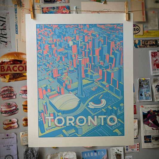
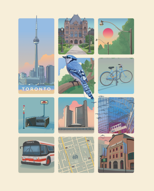
Toronto Skyline Print
Regular price From $20.00 CADRegular priceUnit price per -
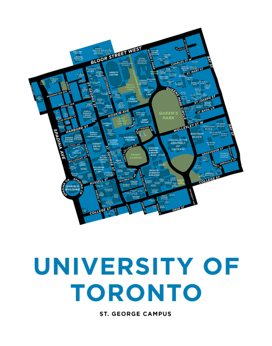
University of Toronto Map Print
Regular price From $22.00 CADRegular priceUnit price per -
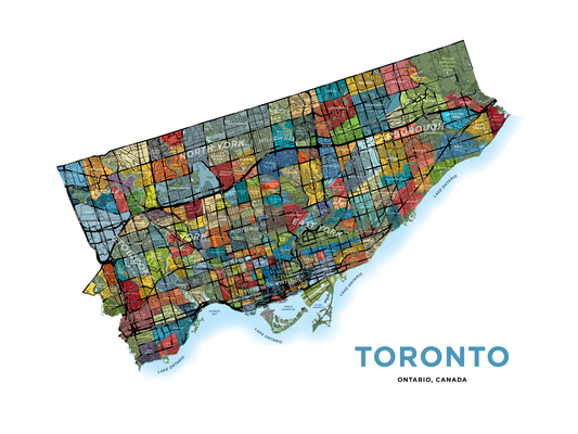
Toronto Neighbourhoods Map - Detailed Version
Regular price From $22.00 CADRegular priceUnit price per -
Downtown Toronto Neighbourhood Map Print
Regular price From $22.00 CADRegular priceUnit price per -
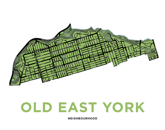
Old East York Neighbourhood Map Print
Regular price From $22.00 CADRegular priceUnit price per -
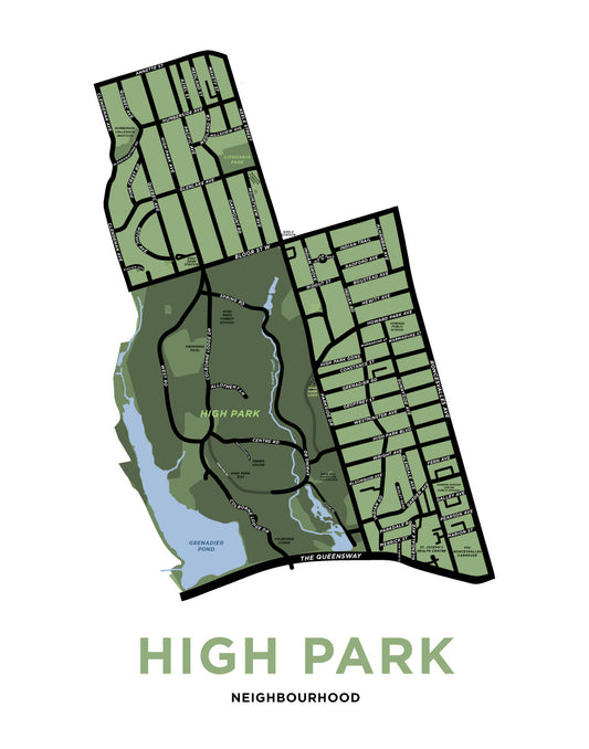
High Park Neighbourhood Map Print
Regular price From $22.00 CADRegular priceUnit price per -
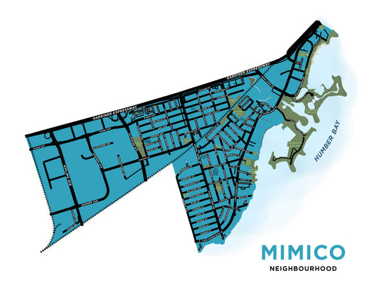
Mimico Neighbourhood Map Print
Regular price From $22.00 CADRegular priceUnit price per -
Toronto Landmarks Grid Print (Blue Jay)
Regular price From $20.00 CADRegular priceUnit price per -
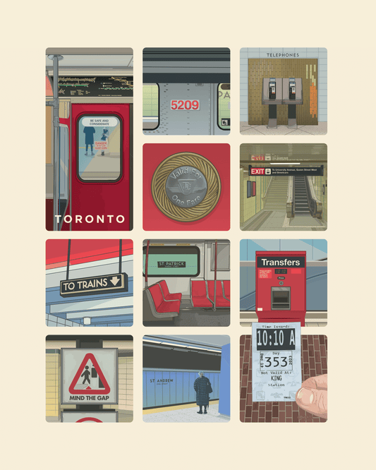
TTC Subway Grid Print
Regular price From $20.00 CADRegular priceUnit price per -
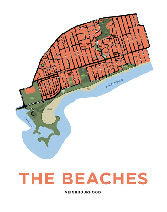
Beaches, The - Neighbourhood Map Print
Regular price From $22.00 CADRegular priceUnit price per -
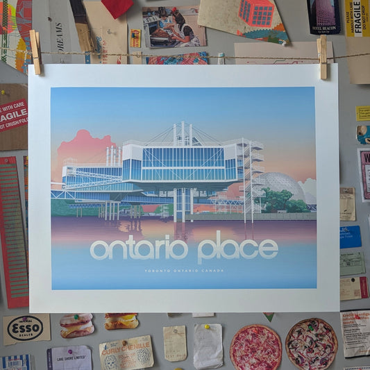
Ontario Place Print
Regular price From $20.00 CADRegular priceUnit price per -
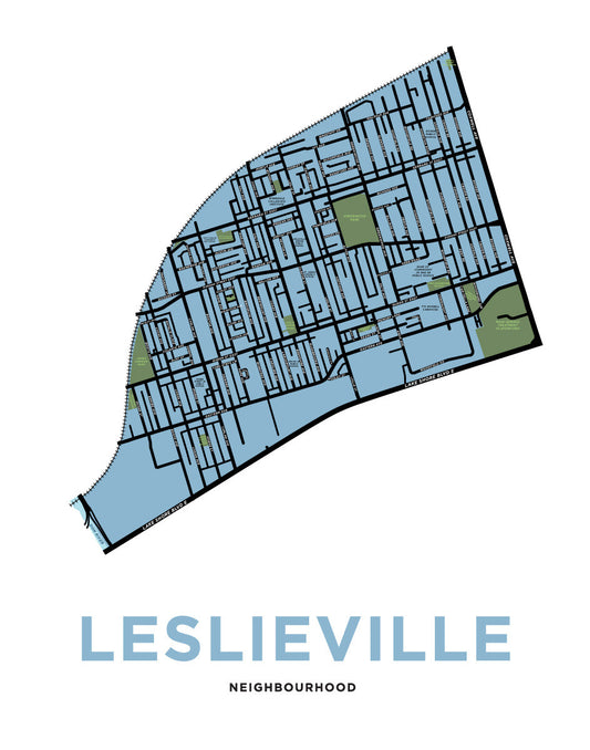
Leslieville Neighbourhood Map Print
Regular price From $22.00 CADRegular priceUnit price per -
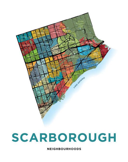
Scarborough Neighbourhoods Map Print
Regular price From $22.00 CADRegular priceUnit price per -
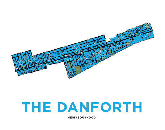
Danforth, The - Neighbourhood Map Print
Regular price From $22.00 CADRegular priceUnit price per -
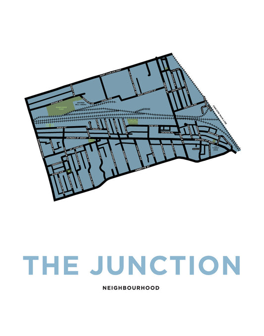
The Junction Neighbourhood Map Print (Toronto)
Regular price From $22.00 CADRegular priceUnit price per -
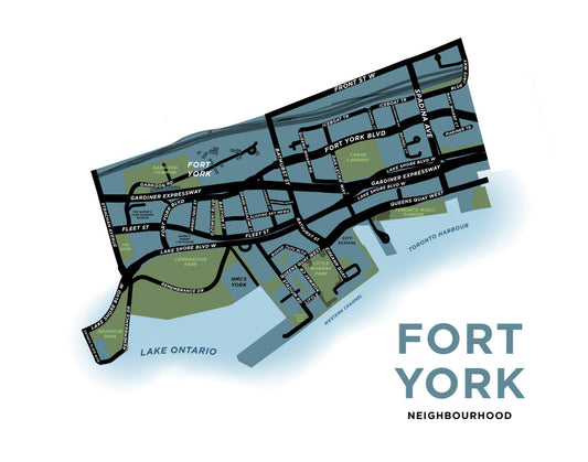
Fort York Neighbourhood Map Print
Regular price From $22.00 CADRegular priceUnit price per -
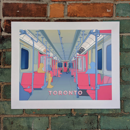
Toronto Subway Print
Regular price From $20.00 CADRegular priceUnit price per -
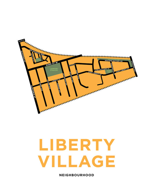
Liberty Village Neighbourhood Map Print
Regular price From $22.00 CADRegular priceUnit price per -
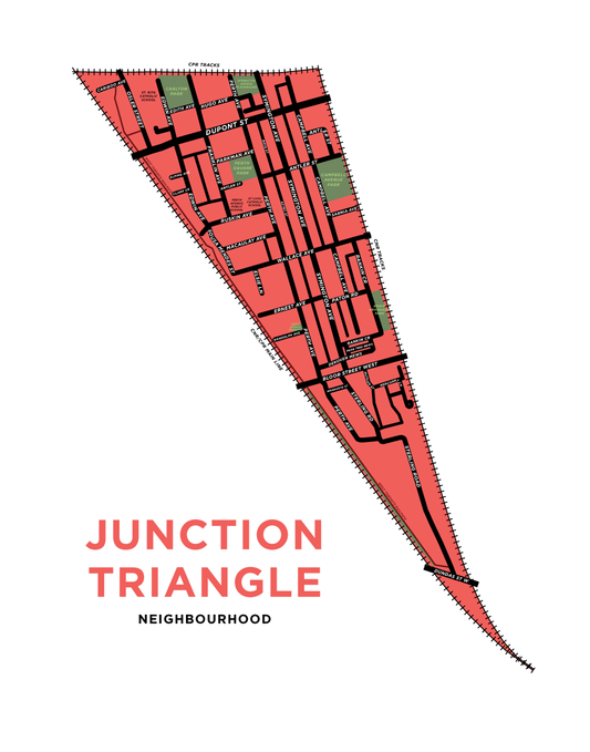
Junction Triangle Neighbourhood Map Print (Toronto)
Regular price From $22.00 CADRegular priceUnit price per -
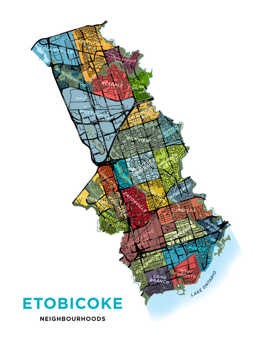
Etobicoke - Full Map Print
Regular price From $22.00 CADRegular priceUnit price per -
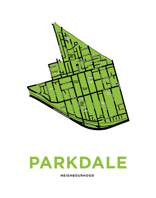
Parkdale Neighbourhood Map Print
Regular price From $22.00 CADRegular priceUnit price per -
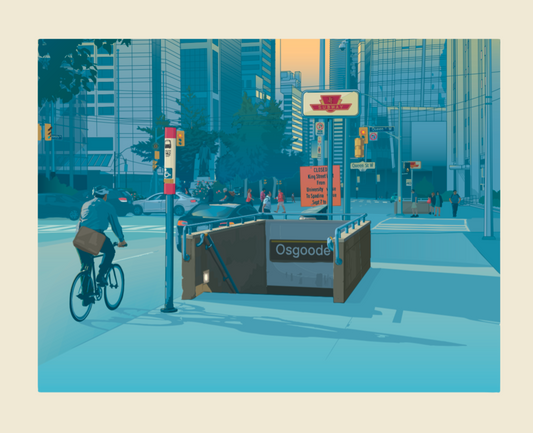
Toronto - Osgoode Station Print
Regular price From $20.00 CADRegular priceUnit price per -
Toronto TTC Grid Print (12 squares version)
Regular price From $20.00 CADRegular priceUnit price per -
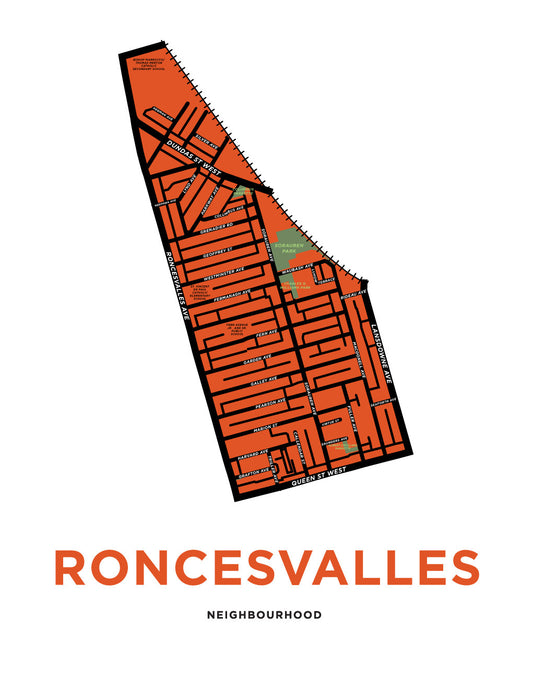
Roncesvalles Neighbourhood Map Print
Regular price From $22.00 CADRegular priceUnit price per