-
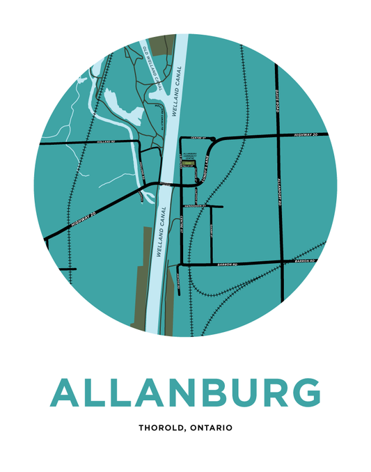
Allanburg Map Print
Regular price From $22.00 CADRegular priceUnit price per -
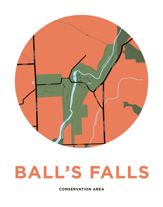
Ball's Falls Conservation Area Map Print
Regular price From $22.00 CADRegular priceUnit price per -
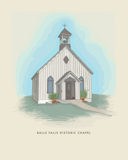
Ball's Falls Historic Chapel Print
Regular price From $20.00 CADRegular priceUnit price per -
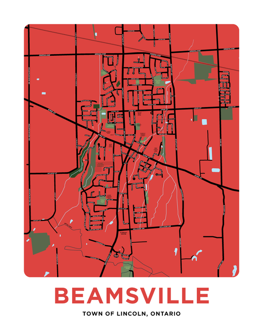
Beamsville Map Print
Regular price From $22.00 CADRegular priceUnit price per -
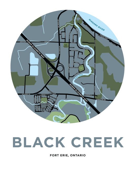
Black Creek Map Print (Fort Erie)
Regular price From $22.00 CADRegular priceUnit price per -
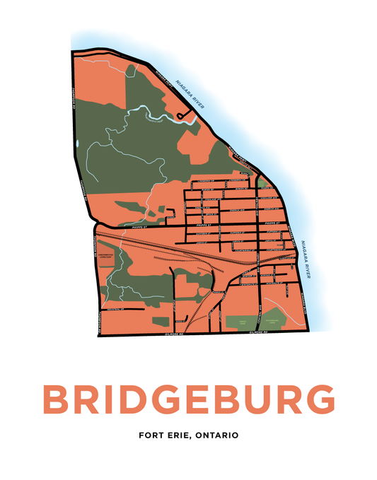
Bridgeburg Map Print
Regular price From $22.00 CADRegular priceUnit price per -
Brock University Map Print
Regular price From $22.00 CADRegular priceUnit price per -
Caistor Centre Map Print
Regular price From $22.00 CADRegular priceUnit price per -
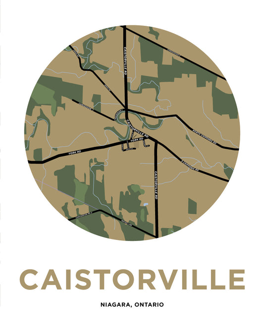
Caistorville Map Print
Regular price From $22.00 CADRegular priceUnit price per -
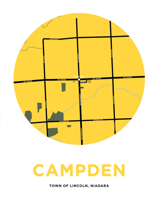
Campden Map Print
Regular price From $22.00 CADRegular priceUnit price per -
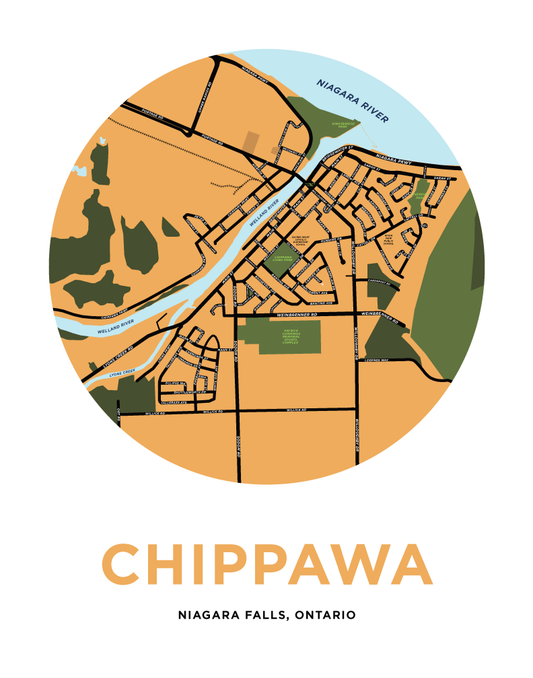
Chippawa Map Print
Regular price From $22.00 CADRegular priceUnit price per -
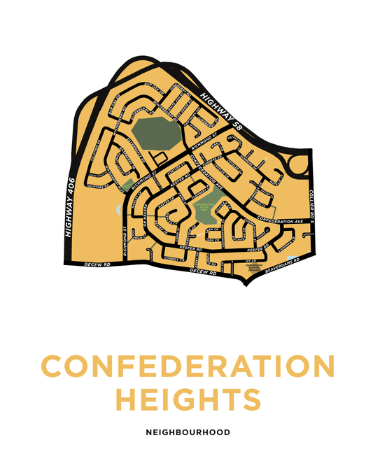
Confederation Heights Map Print
Regular price From $22.00 CADRegular priceUnit price per -
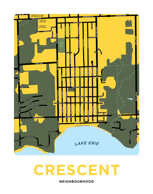
Crescent Neighbourhood Map Print
Regular price From $22.00 CADRegular priceUnit price per -
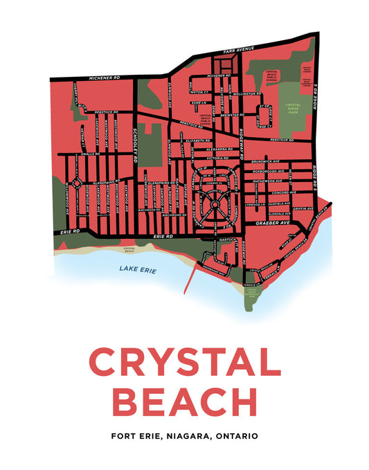
Crystal Beach Map Print
Regular price From $22.00 CADRegular priceUnit price per -
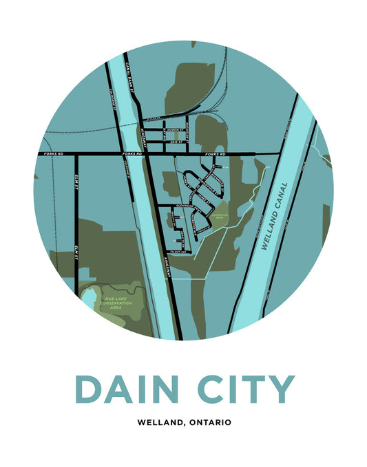
Dain City Map Print
Regular price From $22.00 CADRegular priceUnit price per -
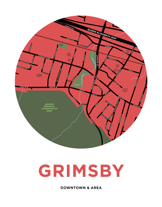
Downtown Grimsby Map Print
Regular price From $22.00 CADRegular priceUnit price per -
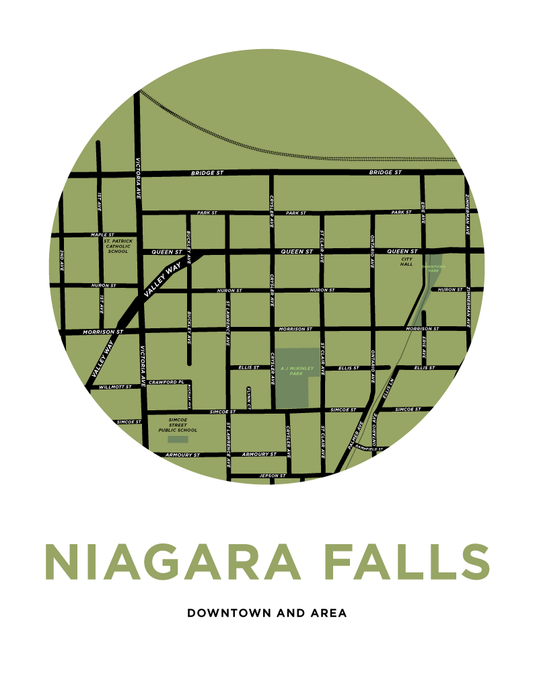
Downtown Niagara Falls Map Print
Regular price From $22.00 CADRegular priceUnit price per -
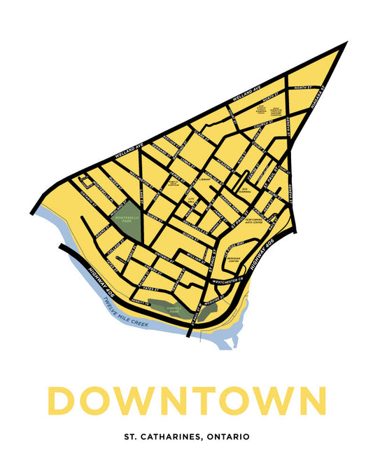
Downtown St. Catharines Neighbourhood Map Print
Regular price From $22.00 CADRegular priceUnit price per -
E.D. Smiths Fruit Prints
Regular price From $20.00 CADRegular priceUnit price per -
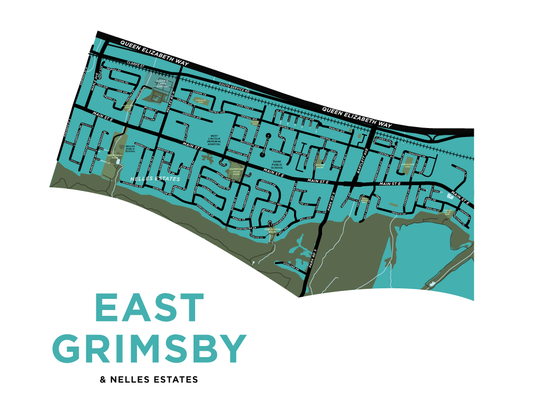
East Grimsby Map Print
Regular price From $22.00 CADRegular priceUnit price per -
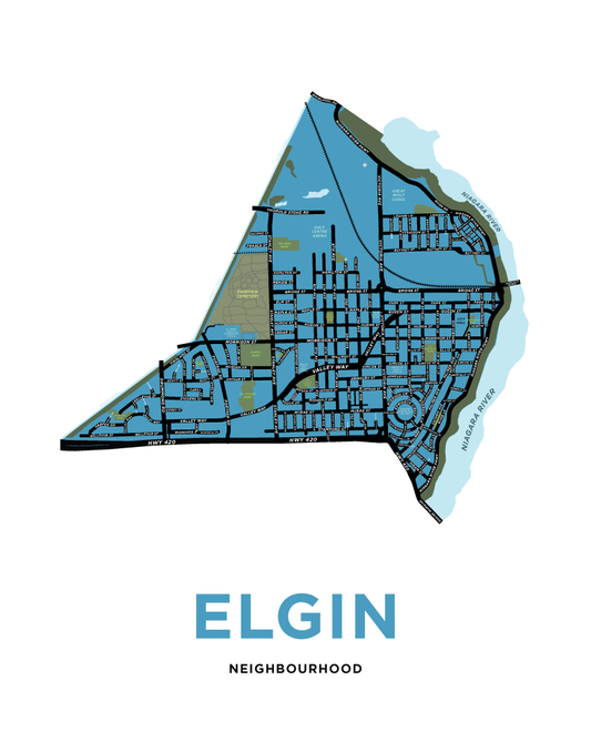
Elgin Neighbourhood Map Print
Regular price From $22.00 CADRegular priceUnit price per -
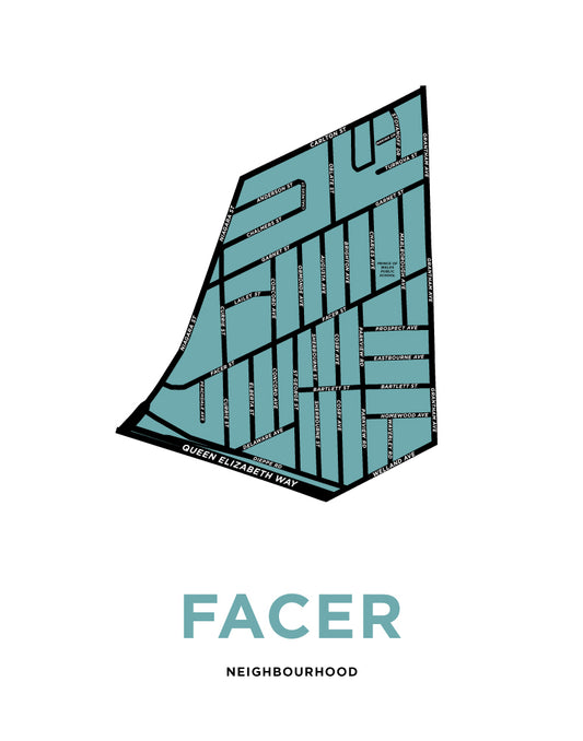
Facer Neighbourhood Map Print
Regular price From $22.00 CADRegular priceUnit price per -
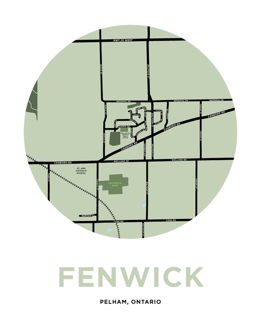
Fenwick Map Print
Regular price From $22.00 CADRegular priceUnit price per -
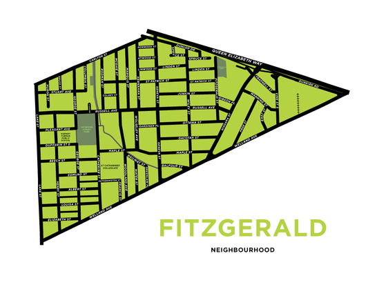
Fitzgerald Neighbourhood Map Print
Regular price From $22.00 CADRegular priceUnit price per