-
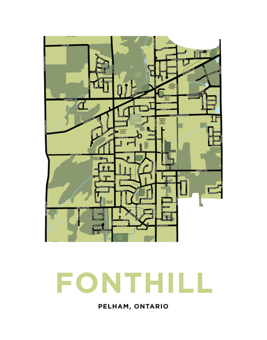
Fonthill Map Print
Regular price From $22.00 CADRegular priceUnit price per -
Fort Erie Map of Waverly Beach, Garrison and Lakeshore Areas
Regular price From $22.00 CADRegular priceUnit price per -
Fort Erie Map Print
Regular price From $22.00 CADRegular priceUnit price per -
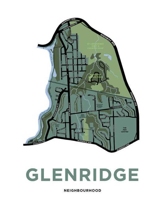
Glenridge Neighbourhood Map Print
Regular price From $22.00 CADRegular priceUnit price per -
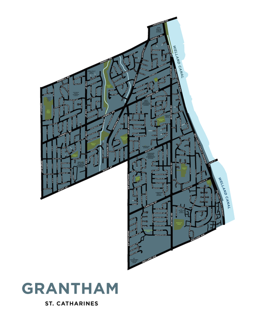
Grantham Neighbourhood Map Print
Regular price From $22.00 CADRegular priceUnit price per -
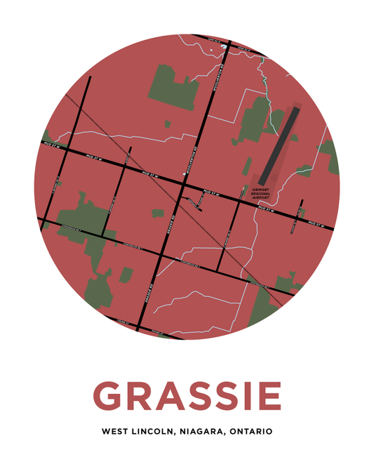
Grassie Map Print
Regular price From $22.00 CADRegular priceUnit price per -
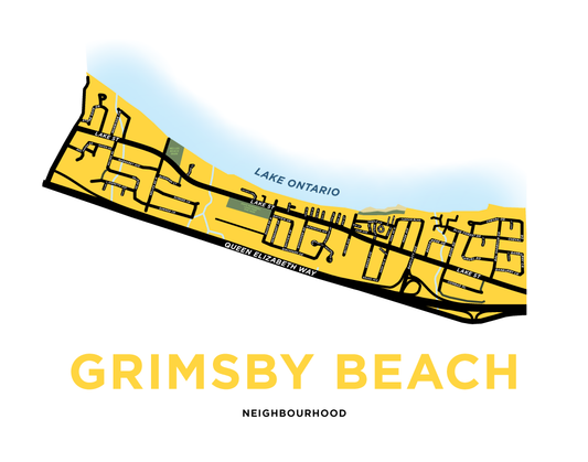
Grimsby Beach Map Print
Regular price From $22.00 CADRegular priceUnit price per -
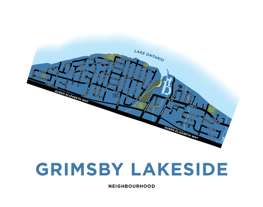
Grimsby Lakeside Map Print
Regular price From $22.00 CADRegular priceUnit price per -
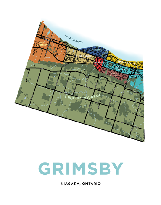
Grimsby Map Print
Regular price From $22.00 CADRegular priceUnit price per -
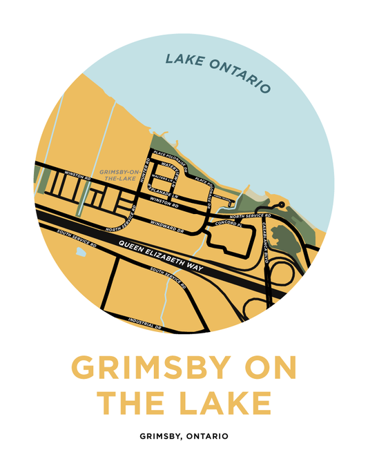
Grimsby On The Lake Map Print
Regular price From $22.00 CADRegular priceUnit price per -
Grimsby Ontario Peach Tree Crest Illustration
Regular price From $20.00 CADRegular priceUnit price per -
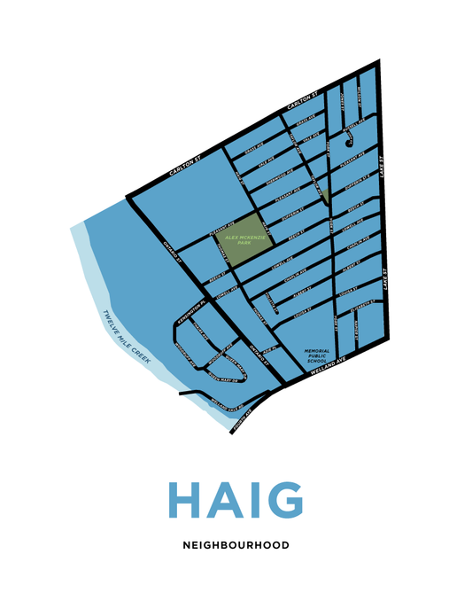
Haig Neighbourhood Map Print
Regular price From $22.00 CADRegular priceUnit price per -
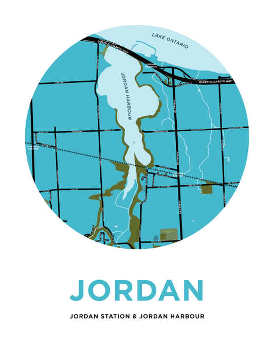
Jordan Harbour & Jordan Station Map Print
Regular price From $22.00 CADRegular priceUnit price per -
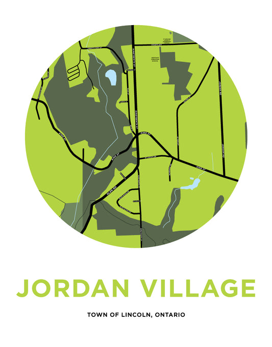
Jordan Village Map Print
Regular price From $22.00 CADRegular priceUnit price per -
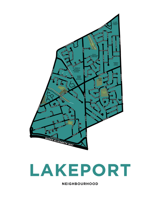
Lakeport Neighbourhood Map Print
Regular price From $22.00 CADRegular priceUnit price per -
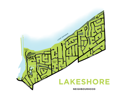
Lakeshore Neighbourhood Map Print
Regular price From $22.00 CADRegular priceUnit price per -
Lancaster Neighbourhood Map Print
Regular price From $22.00 CADRegular priceUnit price per -
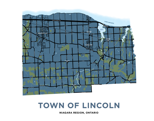
Lincoln Map Print
Regular price From $22.00 CADRegular priceUnit price per -
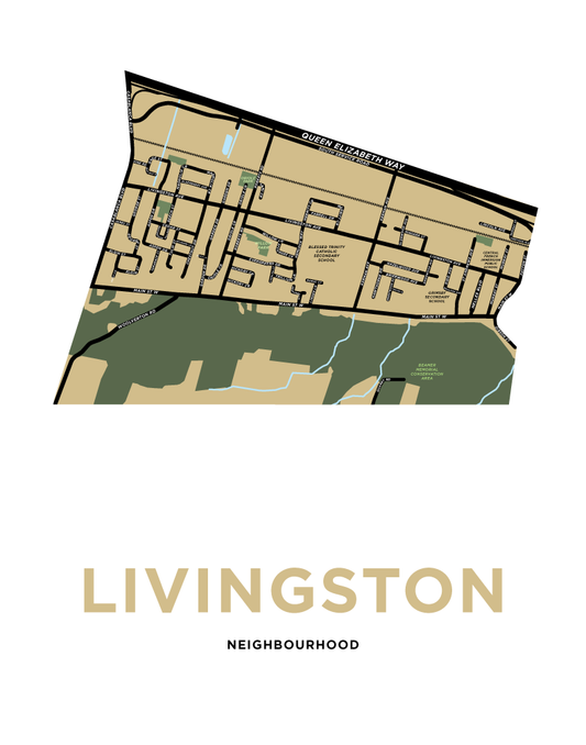
Livingston Neighbourhood Map Print
Regular price From $22.00 CADRegular priceUnit price per -
Marsdale Neighbourhood Map Print
Regular price From $22.00 CADRegular priceUnit price per -
Martindale Neighbourhood Map Print
Regular price From $22.00 CADRegular priceUnit price per -
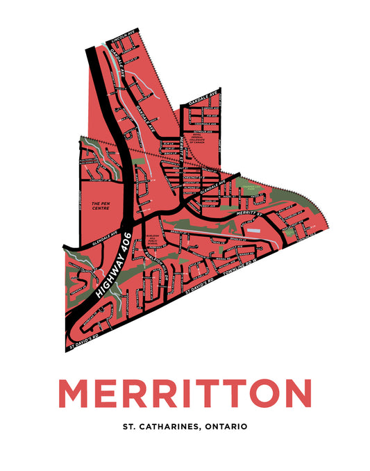
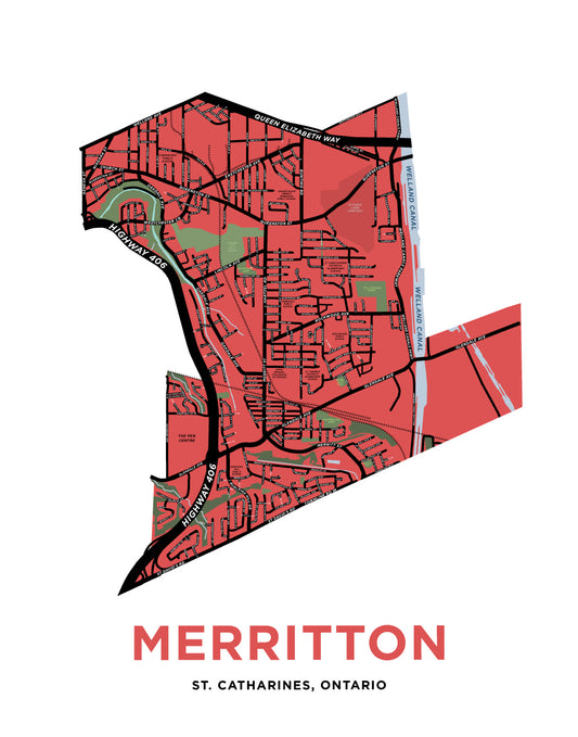
Merritton Town Map Print
Regular price From $22.00 CADRegular priceUnit price per -
Merritton Ward Map Print
Regular price From $22.00 CADRegular priceUnit price per -
Niagara College - Niagara-On-The-Lake Campus Map Print
Regular price From $22.00 CADRegular priceUnit price per