-
Orangeville Map Print
Regular price From $22.00 CADRegular priceUnit price per -
Shelburne Map Print
Regular price From $22.00 CADRegular priceUnit price per -
Mono, Ontario Map Print
Regular price From $22.00 CADRegular priceUnit price per -
Waldemar Map Print
Regular price From $22.00 CADRegular priceUnit price per -
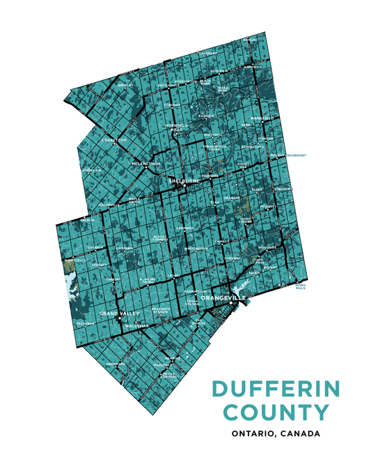
Dufferin County Map Print
Regular price From $22.00 CADRegular priceUnit price per -
Amaranth Map Print
Regular price From $22.00 CADRegular priceUnit price per -
Melancthon Map Print
Regular price From $22.00 CADRegular priceUnit price per