-
Asphodel-Norwood Township Map Print
Regular price From $22.00 CADRegular priceUnit price per -
Bailieboro Map Print
Regular price From $22.00 CADRegular priceUnit price per -
Fleming College - Sutherland Campus Map Print
Regular price From $22.00 CADRegular priceUnit price per -
Keene, Ontario Map Print
Regular price From $22.00 CADRegular priceUnit price per -
Lakefield Map Print
Regular price From $22.00 CADRegular priceUnit price per -
Millbrook Map Print
Regular price From $22.00 CADRegular priceUnit price per -
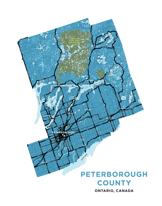
Peterborough County Map Print
Regular price From $22.00 CADRegular priceUnit price per -
Peterborough Full City Map Print
Regular price From $22.00 CADRegular priceUnit price per -
Stoney Lake
Regular price From $22.00 CADRegular priceUnit price per -
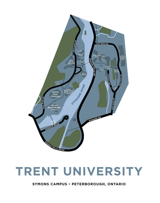
Trent University Map Print (Peterborough, Ontario)
Regular price From $22.00 CADRegular priceUnit price per