-
Ayr Map Print
Regular price From $22.00 CADRegular priceUnit price per -
Branchton Map Print
Regular price From $22.00 CADRegular priceUnit price per -
Elmira Map Print
Regular price From $22.00 CADRegular priceUnit price per -
Forest Heights Neighbourhood Map (Kitchener)
Regular price From $22.00 CADRegular priceUnit price per -
Galt East Map Print (Cambridge)
Regular price From $22.00 CADRegular priceUnit price per -
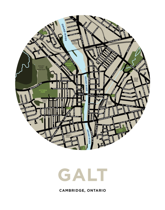
Galt Map Print - Downtown
Regular price From $22.00 CADRegular priceUnit price per -
Linwood Map Print
Regular price From $22.00 CADRegular priceUnit price per -
New Hamburg Map Print (Waterloo Region)
Regular price From $22.00 CADRegular priceUnit price per -
North Dumfries Township Map Print
Regular price From $22.00 CADRegular priceUnit price per -
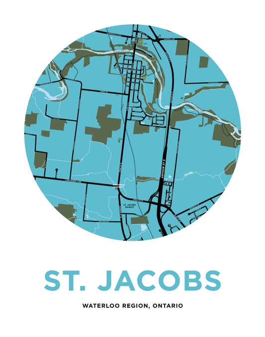
St. Jacobs Map Print
Regular price From $22.00 CADRegular priceUnit price per -
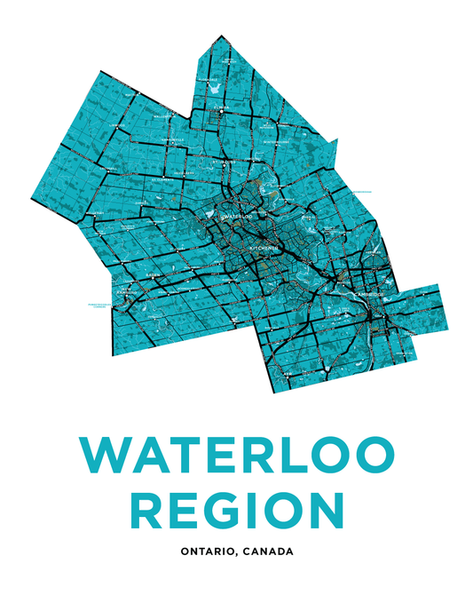
Waterloo Region Map Print
Regular price From $22.00 CADRegular priceUnit price per