

Countryside Neighbourhood Map Print
Countryside Neighbourhood Map Print
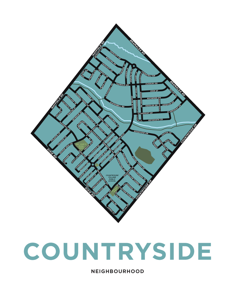
This is a map of the Countryside Neighbourhood in Brampton, Ontario. It's bordered by Bramalea Road, Countryside Drive, Dixie Road and Mayfield Road. Some landmarks here include Countryside Village Public School and Dr. José P. Rizal Park
Note: This map was created in May of 2026 while much of the neighbourhood was still under construction or in the planning phase. We used the most accurate information we could find but if anything needs correcting we would be happy to do so.

Couldn't load pickup availability
Copyright note: All of our maps and other images are our own work. They are available as prints only and may not be used otherwise without our express permission.
-
Shipping
We ship from Hamilton, Ontario via Canada Post. We try to ship a couple days per week (more often in November and December).
We also offer free local pickup in downtown Hamilton. -
Returns
We offer returns and exchanges in person only. We cannot offer returns by mail at this time. As a very small business, the cost of shipping is too high for us to absorb. Shipping over distances can cost almost as much as a single print in some cases.
If you're in Hamilton or can find us at one of our out-of-town events, we'd be happy to work with you on returns and exhanges.
-
Framing
While we don't offer frames for purchase, you can find frames ready-made to fit our prints on the shelf of many local stores and chains. The prints are all created in standard North American frame sizes. (i.e. not always available at the Scandinavian-based furniture and meatball store, check first before you go)